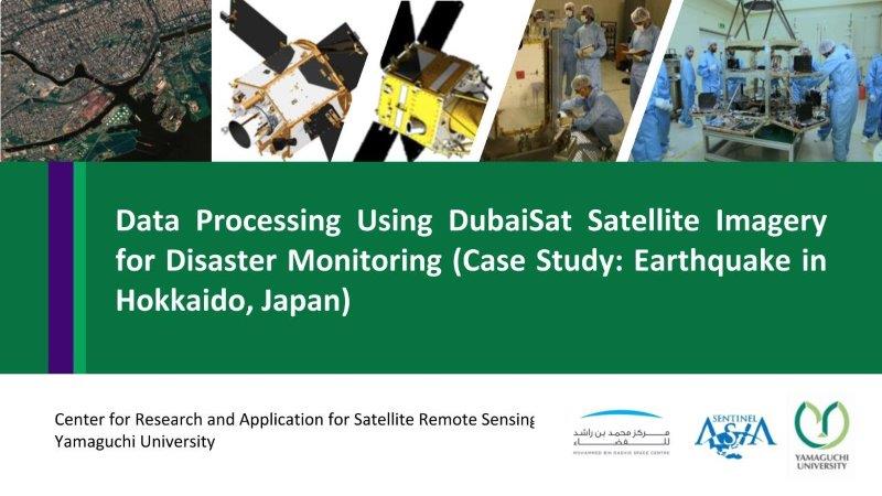
Data Processing Using DubaiSat Satellite Imagery for Disaster Monitoring (Case Study: Earthquake in Hokkaido, Japan)
This content shows the specification of DubaiSat (UAE satellite), information of Hokkaido earthquake, data processing, pre-processing, pan-sharpening, Natural color composite, false color composite, NDVI calculation, image classification by clustering for the damaged area and landslide detection.