category 'sar-applications-for-disasters'

This content shows how to better understand SAR (how to interpret SAR images and read SAR interferogram ). Moreover, capacities and limitations of SAR are discussed for each disaster emergency...
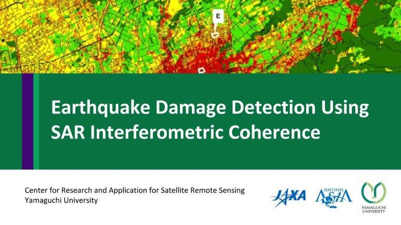
This content presents how to apply interferometric analysis for damage detection. The case study is the Kumamoto earthquake in 2016. ALOS-2 images are used to calculate interferometric coherence, and estimate...
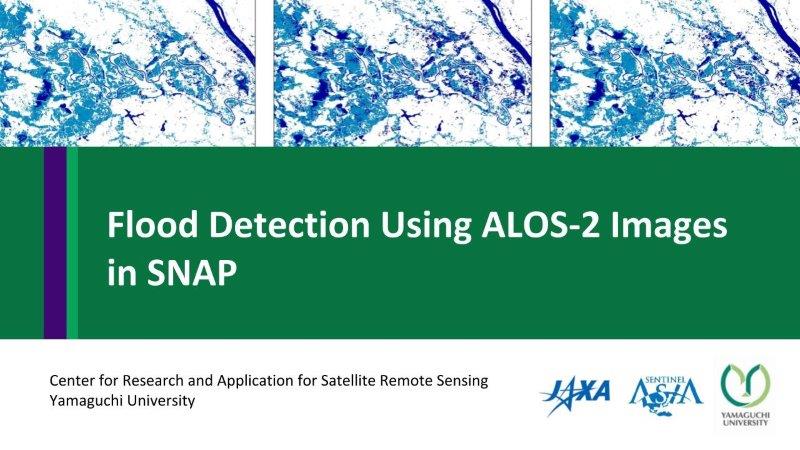
This content presents how to detect water or flood areas using ALOS-2 images before and during floods. First, it shows how to calibrate intensity to dB, find threshold value and...
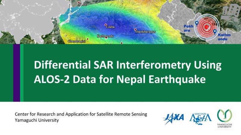
This content presents Differential SAR Interferometry or DInSAR analysis with GMTSAR (on Linux based OS, download DEM, prepare directories for processing). The case study is Nepal earthquake in 2015 using...
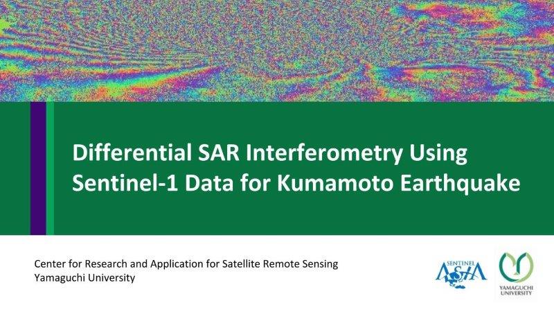
This content presents step by step of Differential SAR Interferometry or DInSAR analysis in SNAP. The case study is Kumamoto Earthquake using Sentinel-1.
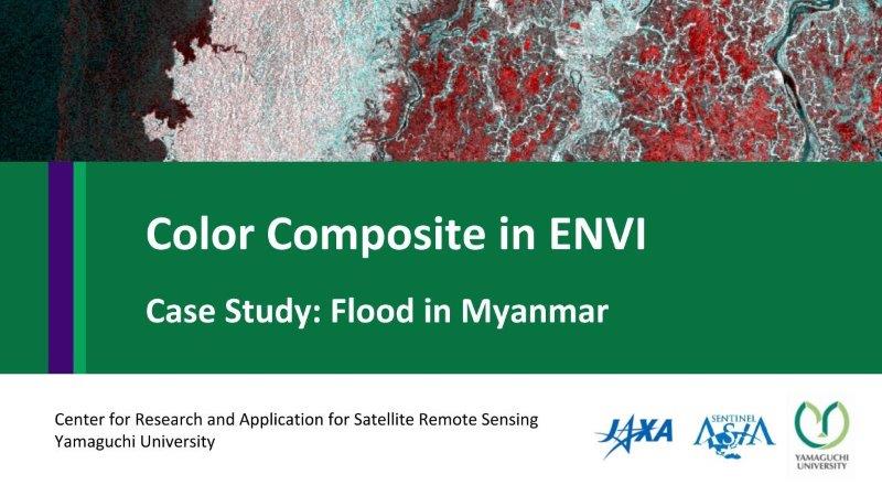
This content shows how to make a color composite in ENVI. The case study was flood disaster in Myanmar in 2017.
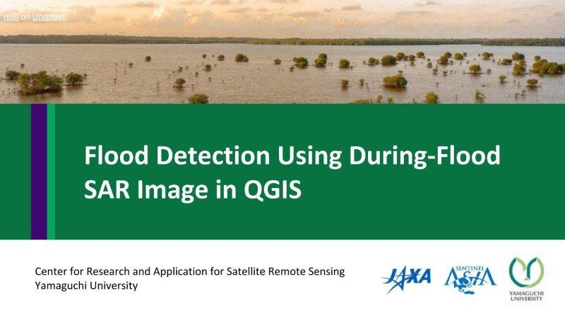
This content presents flood detection using during flood image by thresholding and classification method in QGIS.
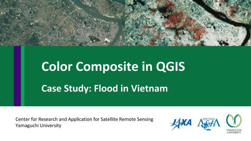
This content shows how to make a color composite in QGIS. The case study was flood disaster in Vietnam in 2017.
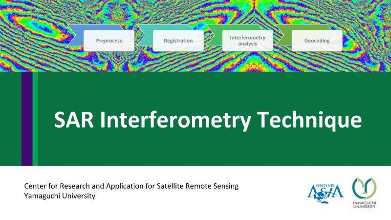
This content presents concept and methodology of SAR Interferometry technique (software, and processing steps based on GMTSAR)
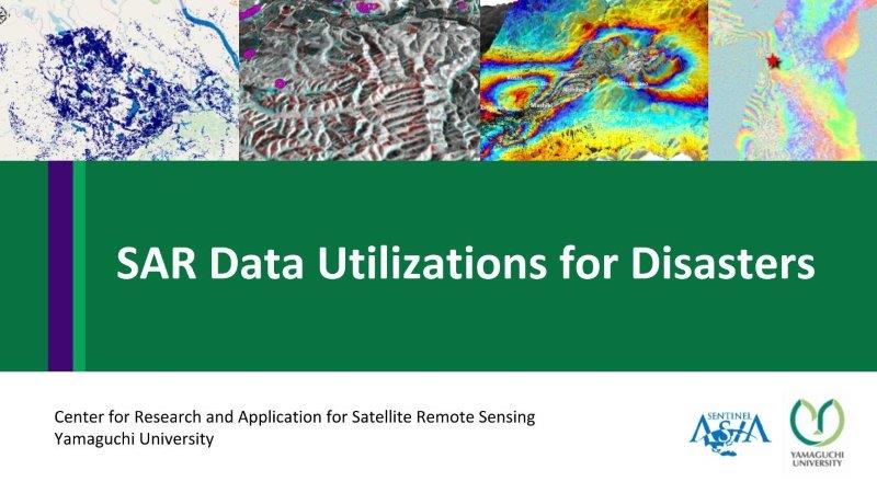
This content presents Synthetic Aperture Radar (SAR) applications for many disaster cases, including floods, landslides, and earthquakes.