Data Processing Using THEOS Satellite Imagery for Disaster Monitoring (Case Study: Flood in Vietnam)
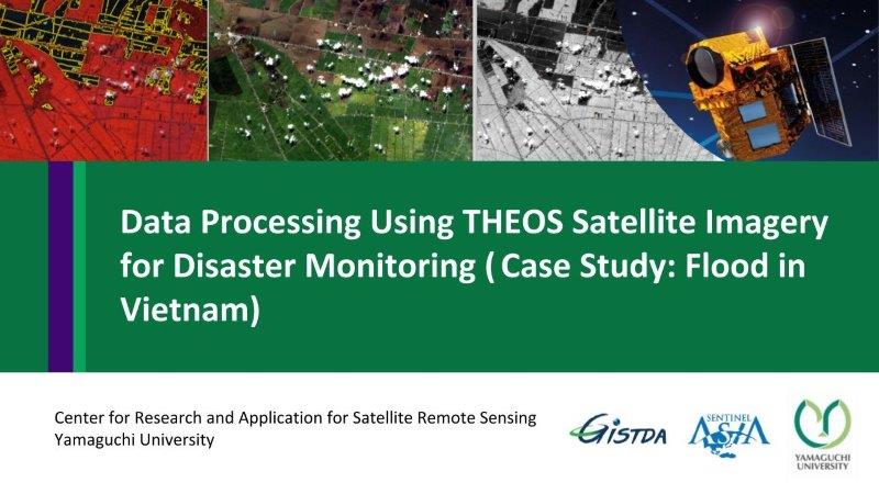
This content shows the specification of THEOS/Thaichote (Thai satellite), information of flood in Vietnam, comparison of pre-disaster image (Landsat-8) and post-disaster image (THEOS) by different methods such as color composite, thresholding, and segmentation for flooded areas classification.