category 'geospatial-applications-for-disasters'
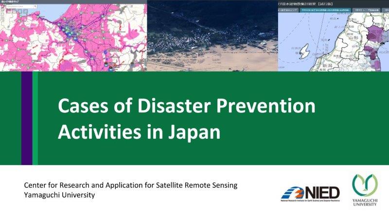
Cases of Disaster Prevention Activities in Japan
This content describes disaster prevention activities in Japan, disaster management system, information support team (ISUT) for information sharing, Strategic innovation promotion program (SIP), and the case of remote sensing data...

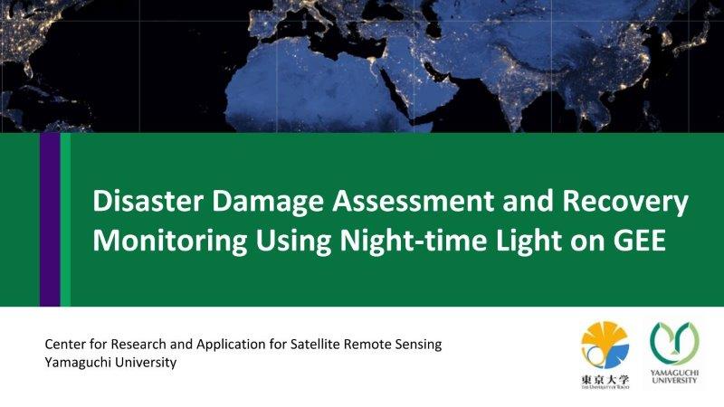
Disaster Damage Assessment and Recovery Monitoring Using Night-Time Light on GEE
This content shows the possibility and useful cases of night-time light data to assess disaster damages and recovery in post-disaster situations such as Hokkaido earthquake, dam eruption in Laos and...
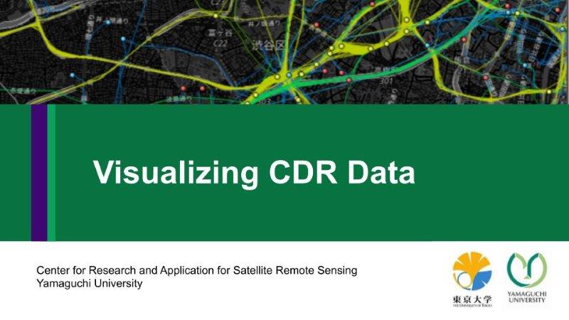
Visualizing CDR Data
This content describes Call Detail Records (CDR) data format, data acquisition method, visualize in Mobmap and the applications for disaster management.
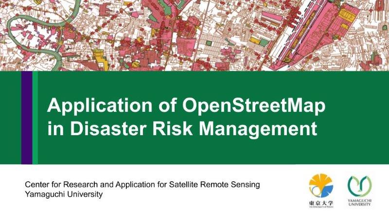
Application of OpenStreetMap in Disaster Risk Management
This content presents the four procedures were investigated in detail with an emphasis on simplicity for application to disaster management (download from OSM website, download using QGIS plugin, download a...