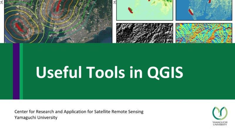
category 'basic-processing-in-qgis'

This content shows how to get Twitter geo-located data using QGIS (1. Installation of QGIS and Plugin 2. Twitter API application, and 3. Example of getting data from Twitter API)....
This content shows how to download OSM shapefile, use geo-reference tool, analyses terrain (slope, hill-shade, aspect), and terrain profile tool.
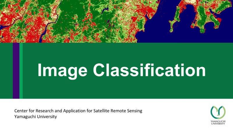
This content presents how to classify satellite image by QGIS Semi-automatic classification plugin. It includes pre-processing, create a region of interest (AOI), and applying classification methods.
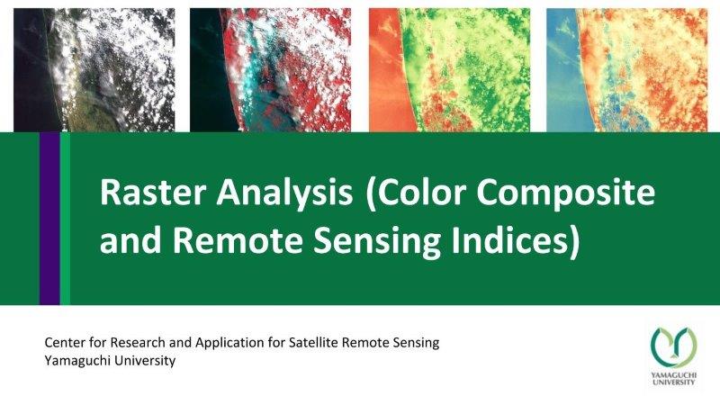
This content shows how to download data from USGS explorer, color composition for Landsat-8 and Sentinel-2, extract specific area, and remote sensing indices (NDVI and NDWI) using raster calculator.
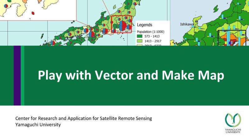
This content shows geospatial data sources for Japan and global data, coordinate reference system, and create a map of population density (Vector analysis: dissolve vector, join table, calculate area and...